Difference between revisions of "Change Log Kalypso 10.10.0"
From KalypsoDev
Gernotbelger (Talk | contribs) (→KalypsoWSPM) |
Gernotbelger (Talk | contribs) (→KalypsoWSPM) |
||
| Line 61: | Line 61: | ||
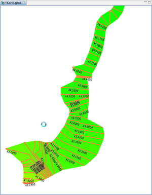
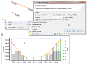
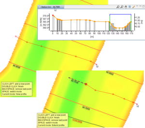
| valign="top" width="50%" | It is now possible to create a new profile or to extend an existing one using data from a digital terrain model. After digitalizing the profile line on the map, the ground level is obtained from the dtm and added into the profile. Additionally, the retrieved profile points are simplified via the Douglas-Peucker algorithm. | | valign="top" width="50%" | It is now possible to create a new profile or to extend an existing one using data from a digital terrain model. After digitalizing the profile line on the map, the ground level is obtained from the dtm and added into the profile. Additionally, the retrieved profile points are simplified via the Douglas-Peucker algorithm. | ||
| [[image:ProfileFromDtm.png|300px]] | | [[image:ProfileFromDtm.png|300px]] | ||
| + | |- | ||
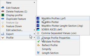
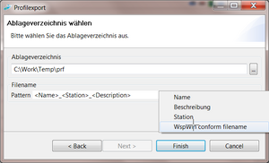
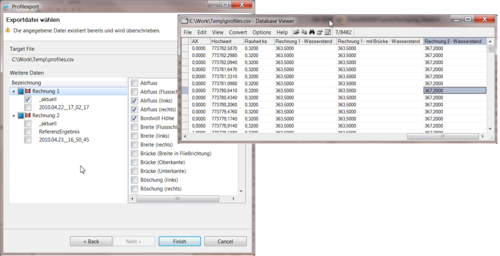
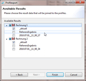
| + | | valign="top" width="50%" | When exporting profile to .prf format, the user may now choose result data to be added into the .prf files. The results will be written as waterlevels and discharges, suitable for presentation in WspWin Plotter. | ||
| + | | [[image:PrfExport_resultSelection.png|300px]] | ||
|- | |- | ||
|} | |} | ||
Revision as of 11:04, 1 July 2010
Changes since: Kalypso-2.2 (Change_Log_Kalypso_2.2.0)
Contents |
Kalypso Platform
Items that improve Kalypso in general.
| Empty, please replace me with a real entry. |
Consumability / Reliability
Items that make it easier for users to get Kalypso, install it on their systems, and configure it for their use.
| Empty, please replace me with a real entry. |
Kalypso1D2D
| Empty, please replace me with a real entry. |
KalypsoWSPM
KalypsoRisk
| Empty, please replace me with a real entry. |
