File:ResultTriangulatedWaterlevel.png
From KalypsoDev
Size of this preview: 467 × 599 pixels.
Full resolution (691 × 887 pixels, file size: 132 KB, MIME type: image/png)
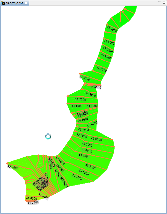
Triangulated waterlevel, automatically added to WSPM result map after calculation.
File history
Click on a date/time to view the file as it appeared at that time.
| Date/Time | Thumbnail | Dimensions | User | Comment | |
|---|---|---|---|---|---|
| current | 14:57, 20 April 2010 | | 691 × 887 (132 KB) | Gernotbelger (Talk | contribs) | Triangulated waterlevel, automatically added to WSPM result map after calculation. |
- You cannot overwrite this file.
- Edit this file using an external application (See the setup instructions for more information)
File usage
The following page links to this file: